

South Georgia & Shackleton Crossing Map
South Georgia & Shackleton Crossing Map
Regular price
£15.00
Regular price
Sale price
£15.00
Unit price
per
Shipping calculated at checkout.
Couldn't load pickup availability
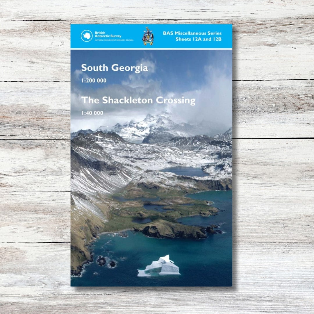
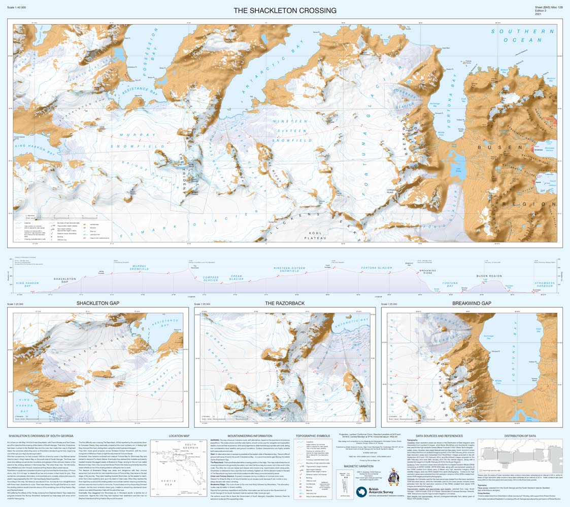
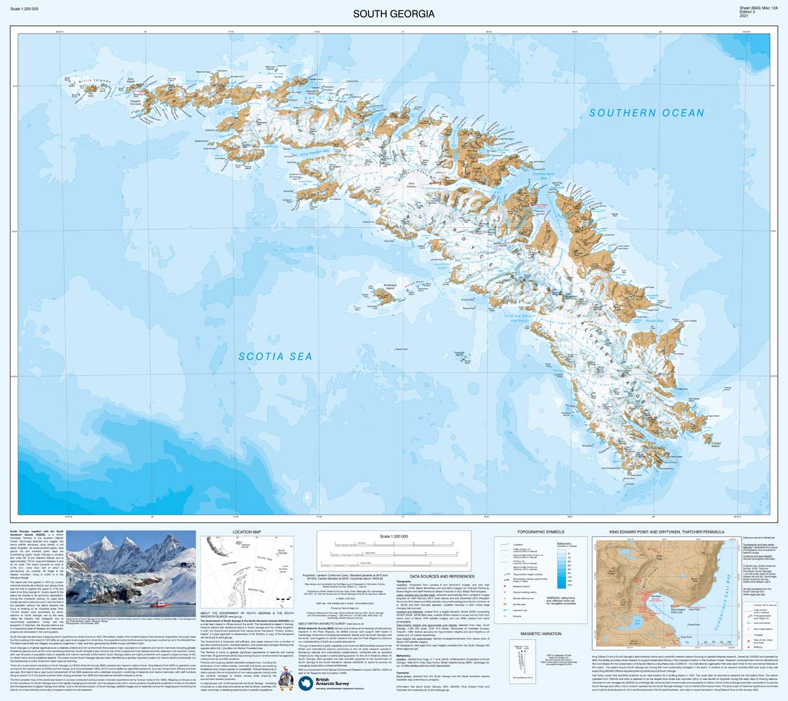
A folded double-sided map of South Georgia on one side and the Shackleton Crossing route on the reverse. Side A shows South Georgia at a 1:200 000 scale with data including contours, spot heights, scientific stations and the disused whaling stations. Side B covers the route which Sir Ernest Shackleton took on the first ever crossing of South Georgia in 1916. This 1:40 000 scale map has detailed topographic data created from VHR satellite imagery, with 1:25 000 scale insets of key areas. Produced by the British Antarctic Survey.
- South Georgia 1:200 000
- The Shackleton Crossing 1:40 000
- Sheets 12A & 12B
Shipping & Delivery
Shipping & Delivery
United Kingdom
- Free delivery on orders over £80
- Orders under £80: £5.99
- 2-4 business days
EU (European Union)
- £7.99-29.99
- 2-11 business days
- Calculated at checkout based on weight
- You may be asked to pay local VAT and duties before being able to claim your parcel.
International
- £12.99-39.99
- 3-17 business days
- Calculated at checkout based on weight
- You may be asked to pay local VAT and duties before being able to claim your parcel.
See our Shipping Policy for more information