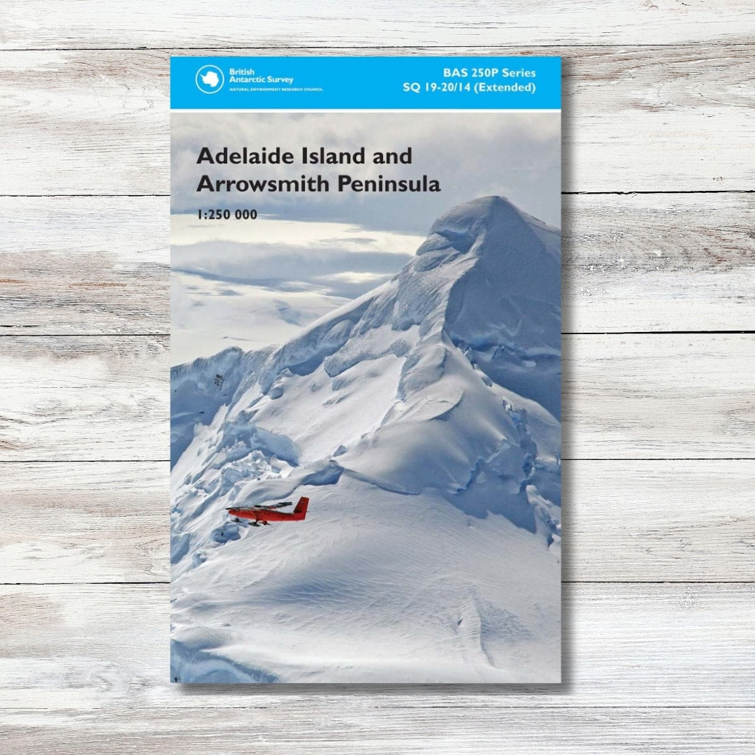


Adelaide Island & Arrowsmith Peninsula Map
Adelaide Island & Arrowsmith Peninsula Map
Regular price
£15.00
Regular price
Sale price
£15.00
Unit price
per
Shipping calculated at checkout.
Couldn't load pickup availability
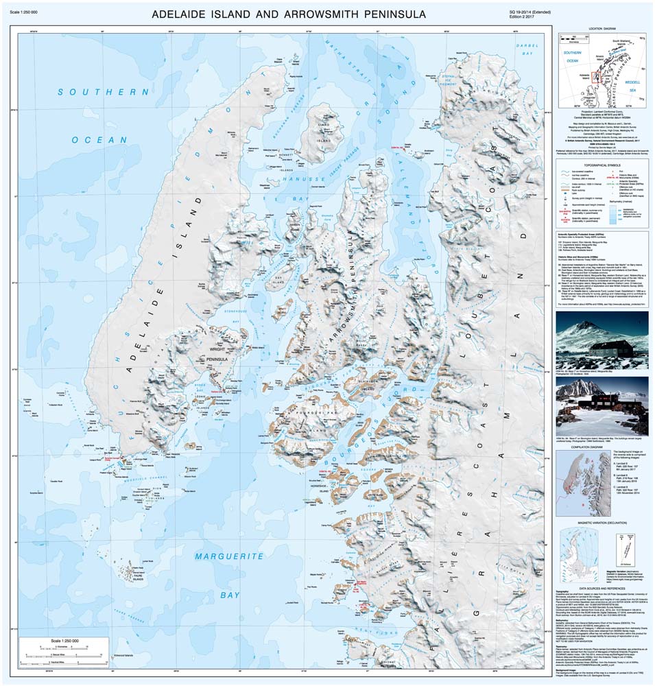
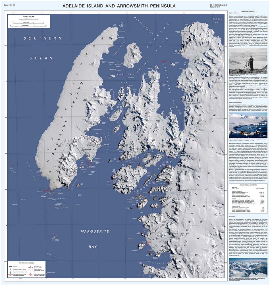
A double-sided folded map of Adelaide Island and Arrowsmith Peninsula featuring both a topographic and satellite image map at a scale of 1:250,000. Includes coverage of Rothera Research Station, San Martin Station, Reniente Luis Carvajal Station, as well as the Historic Sites at Detaille Island, Horseshoe Island and Stonington Island. Produced by the British Antarctic Survey.
- Small folded size
- Double-sided map
- Cartography by the British Antarctic Survey
- Satellite and topographical map
- Scale: 1:250,000
- SQ 19-20/14A (Side A) & SQ 19-20/14B (Side B)
Shipping & Delivery
Shipping & Delivery
United Kingdom
- Free delivery on orders over £80
- Orders under £80: £5.99
- 2-4 business days
EU (European Union)
- £7.99-29.99
- 2-11 business days
- Calculated at checkout based on weight
- You may be asked to pay local VAT and duties before being able to claim your parcel.
International
- £12.99-39.99
- 3-17 business days
- Calculated at checkout based on weight
- You may be asked to pay local VAT and duties before being able to claim your parcel.
See our Shipping Policy for more information